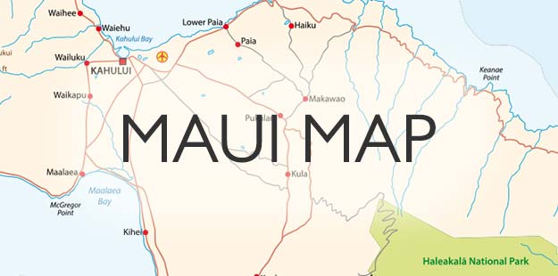
Last Lava Flow on Maui
Maui’s Last Volcano Eruption: La Perouse Bay and the Remnants of Maui’s Last Flow of Lava
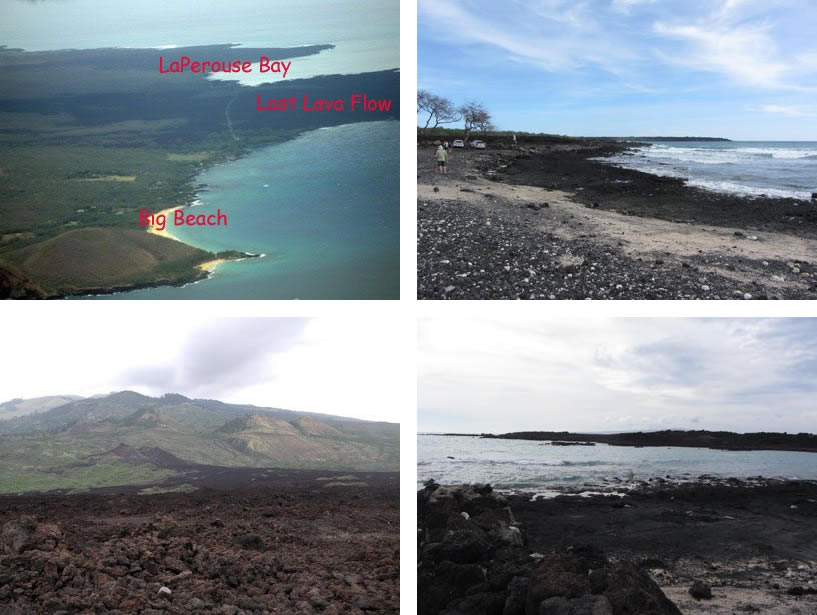
The last time lava flowed out of a volcano on Maui was in about 1790. It didn’t come from the crater at the top of Haleakala but rather erupted in the southwest, partway up the side of that volcano. This left a path of rough lava rocks that you can see today. Maui’s Route 31 leads south to Wailea-Alanui Drive, which becomes Makena Road. Continuing south on Makena Road, the road narrows and allows you to drive right over one mile of Maui’s last lava flow. The road ends in a gravel parking lot at La Perouse Bay. You can’t drive any farther south, but there is a difficult walking path called the King’s Highway that extends further.
In 1786, French explorer Captain Jean-François de Galaup, comte de La Pérouse surveyed and mapped this area. He was the first European explorer to set foot on Maui. The bay is named La Perouse after him. (Captain Cook was the first European to see Maui, in 1778, but he never landed on Maui.) At La Perouse Bay you can walk on the smoother sections of lava and find small sea creatures in the tidepools. Do not try to walk on the rough or loose parts of lava that make up most of this wide last lava flow, because you can easily fall and injure yourself on the sharp lava rocks. Observe the signs showing prohibited areas. On your drive back across the lava flow, passengers in your car can look uphill and see the places where the lava erupted from the side of the volcano.
The drive out here to La Perouse Bay is a fun drive in a Jeep, so if you’d like to try that see Jeep rental Maui.

Last Lava Flow and La Perouse Bay Photos
See the page of Things To Do In Maui for Haleakala, Lahaina, Lavender farm, aquarium, luaus, whale watching, snorkeling, tours, helicopters, horseback riding, dinner cruises, parasailing, fishing, biking, golf, beaches, kids, and family fun, and more.


